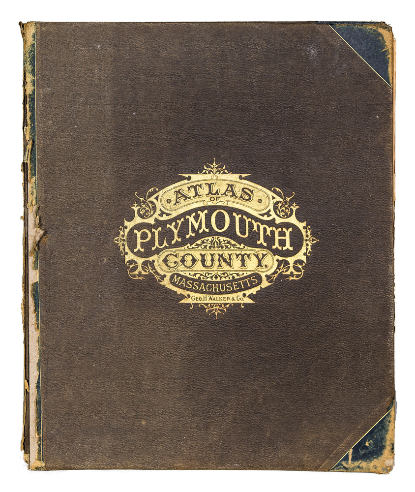
Lot 241: 19th c. Bound Atlas; Maps of Towns
$450.00
Lot 241: 19th c. Bound Atlas; Maps of Towns
$450.00
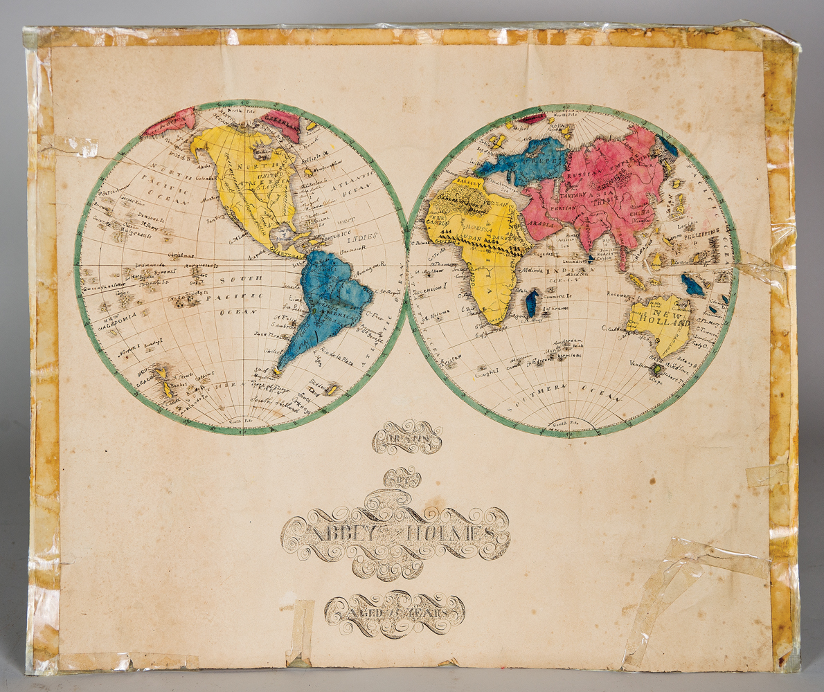
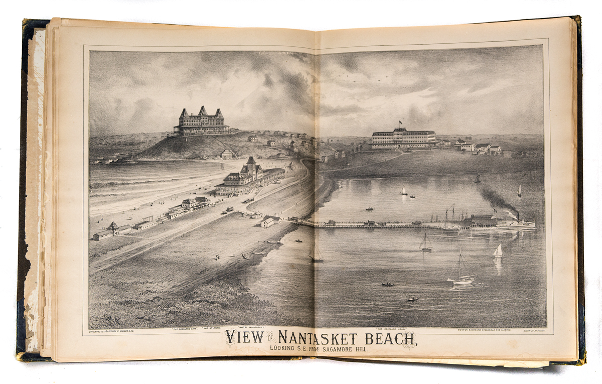
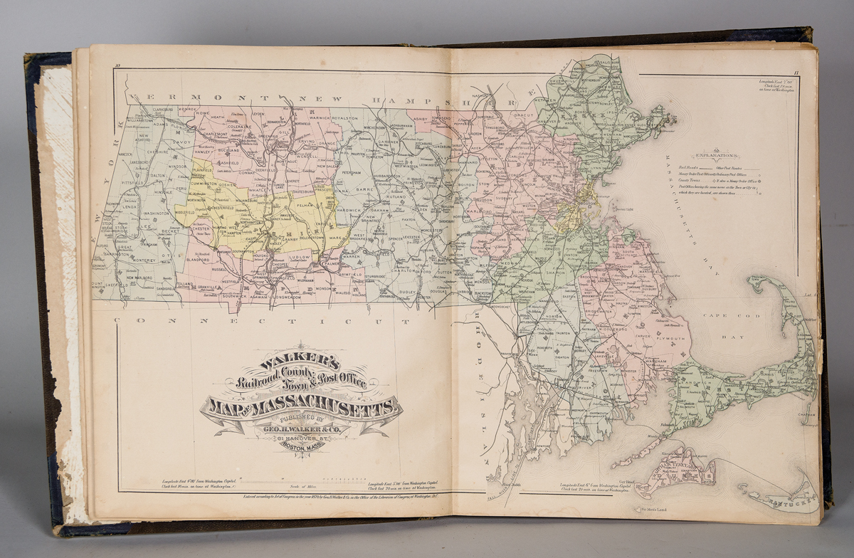
Atlas of Plymouth County, Massachusetts, 1879, published by George H. Walker & Co., Boston, Mass., 92 pgs; along with four pages of lists of Manufacturers and Merchants, includes maps of towns, villages and illustrations of famous houses, maps of Massachusetts with railroad lines, Plymouth County, et al, appears complete; and an early 19th c. school girl Map of the World (on paper), with two hand-colored and lettered hemispheres, “Drawn by Abbey Holmes, aged 13 years”, some tears and repairs with tape, 16 1/2″ x 19 1/2″; (ex. Whiting estate, Plymouth, MA).
Estimate: $300-400
